


Description
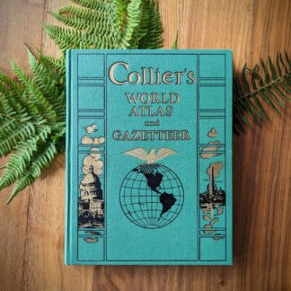
Collier’s World Atlas and Gazetteer
Published by P.F. Collier & Son Corporation, 1942
Folio size, approximately 14 x 11 inches
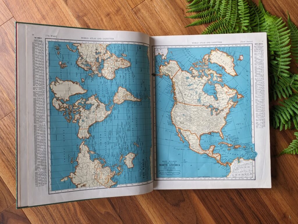
Published during the height of World War II, this substantial 1942 atlas offers a detailed geographic snapshot of the world as it was shaped by the conflict. Alongside traditional political and physical maps, many editions from this year also reflect wartime realities—marking occupied territories, military zones, and shifting borders across Europe, Asia, and Africa.

Serving both as an educational reference and historical artifact, it covers regions worldwide with detailed mapwork and gazetteer listings, making it valuable for anyone interested in early 20th-century geography or WWII-era global dynamics.
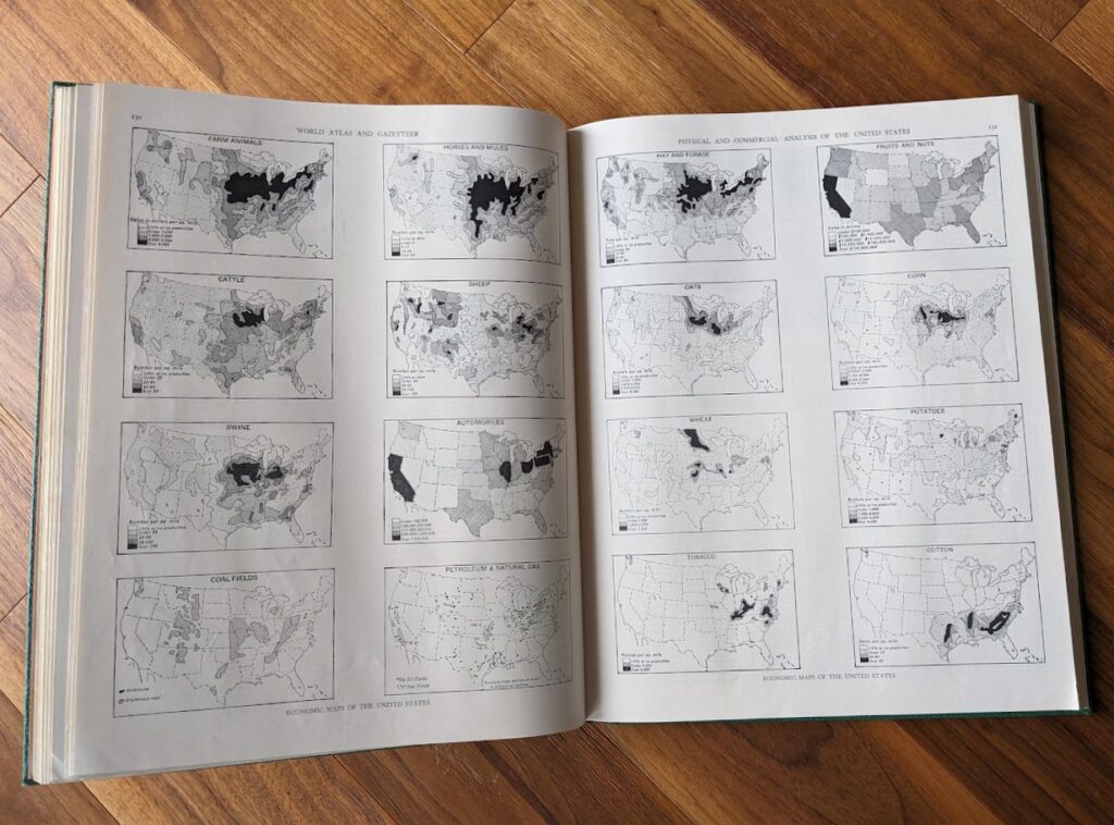
This copy is bound in bright green cloth with gilt lettering on the front panel and spine. The color remains strong and vivid. Condition is good: the binding is secure, and all pages are intact and clean. The full-color maps remain striking, with sharp printing and well-preserved detail throughout.


Reviews
There are no reviews yet.